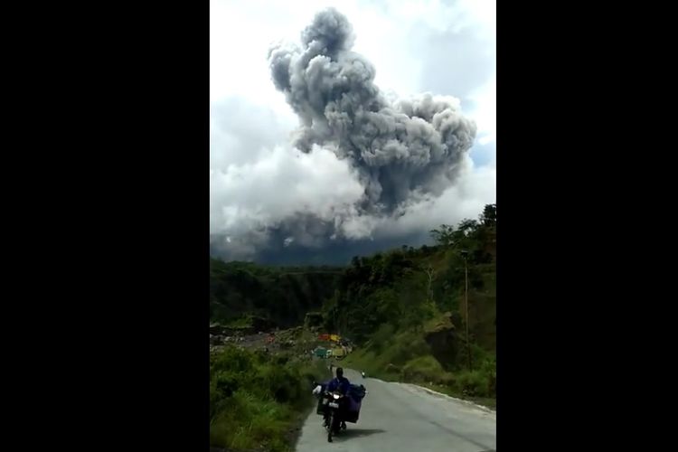
Indonesian University Students Create Cold Lava Floods Warning System
"If ground shifts occur, the rotary encoder will automatically rotate and detect soil displacement with accuracy of up to 1cm."
He added that the buoy mechanical sensor could detect water level changes. "If a landslide is detected and the height is above the specified threshold, it will trigger the client side to send a message via the GSM module to the server side."
The server will collaborate data from the client with weather forecast data from the Meteorology, Climatology and Geophysics Agency (BMKG) which can be accessed to the public.
"The client side of the tool will take data to be sent to the server once every minute, such as weather status, rainfall, and current information on river water levels," Rohsan asserted.
Then, the server will send it to the storage and processing database. The public can access these via Android-based applications and websites. Indonesia sits on Indo-Pacific Ring of Fire, making the country vulnerable to volcanoes, earthquakes and other natural disasters.
(Writer/ Editor: Albertus Adit)
Source:
Simak breaking news dan berita pilihan kami langsung di ponselmu. Pilih saluran andalanmu akses berita Kompas.com WhatsApp Channel : https://www.whatsapp.com/channel/0029VaFPbedBPzjZrk13HO3D. Pastikan kamu sudah install aplikasi WhatsApp ya.

