Indonesian University Students Create Cold Lava Floods Warning System
KOMPAS.com - Volcanic activity remains a constant danger in Indonesia, not least on Mount Merapi, the country's most active volcano.
The mountain's 2010 eruptions, which was one of the most destructive in recent years as it killed more than 350 people and displaced over 350 thousand others, still cast a shadow on those who live below its slopes.
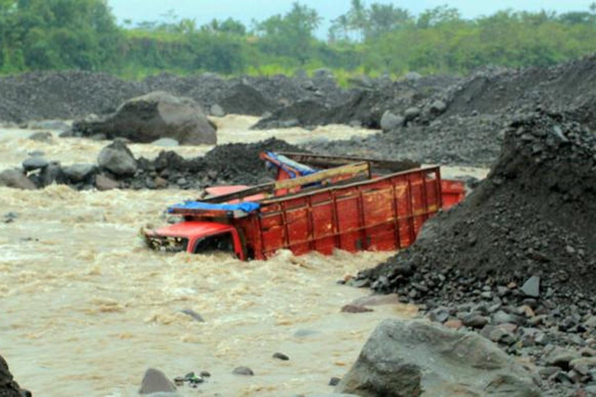
While hot clouds and lava are the best known hazards of any volcanic eruption, cold lava floods are an equally dangerous, yet frequently overlooked danger.
Formed from volcanic ash and rock spewed out of the mountain mixed with rainwater, cold lava can be a threat because of its sand and rock texture, making it similar to wet cement.
Also read: Floods, Landslides Strike Indonesia's Tourist Destination in North Sumatra
But three Yogyakarta State University (UNY) students from its Faculty of Mechatronics Engineering, Riza Atika, Anung Endra Raditya and Rohsan Nur Marjianto, were determined to tackle this phenomenon.
The trio did so by creating an early warning system for cold lava floods, based on a concept fron the Internet of Things (IoT).
"Our tool uses a more durable float mechanical sensor than the ultrasonic sensors on tools currently in use," explained Riza. "The IoT based systems are integrated with loudspeakers at houses of worship, so as to alert more people to be evacuated to safer locales."
Riza added that the tool is cheap and efficient, making it affordable for all segments of society.
"Based on the Internet of Things, this cold lava flood early warning tool can be connected easily to phones and computers via the internet. As such, it will create data interconnection," said Riza, as quoted from the UNY website on Friday, May 14.
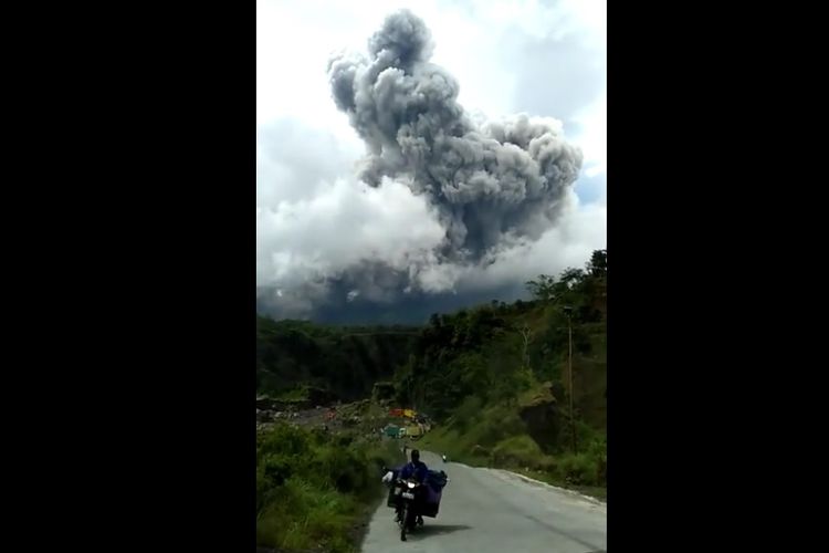 Mount Merapi emits hot clouds on Wednesday (27/1/2021)
"The tool's interconnection will make it quickly disseminate early warning of cold lava floods. It also makes it easier for the public to monitor weather conditions, as well asrivers vulnerable to cold lava floods."
This tool is equipped with solar panels as its main power source, making it also energy efficient and environmentally friendly.
"The tool has two sides," Rohsan explained. "One side acts as a client to retrieve data, while the other is the server to convey information from processed data.
"The client side will be installed at several points along the river to ensure the ebb and flow of the river around the volcano by utilizing steel slings connected to the rotary encoder," Rohsan explained.
Also read: Locals Warned As Mount Sinabung Erupts
"If ground shifts occur, the rotary encoder will automatically rotate and detect soil displacement with accuracy of up to 1cm."
He added that the buoy mechanical sensor could detect water level changes. "If a landslide is detected and the height is above the specified threshold, it will trigger the client side to send a message via the GSM module to the server side."
The server will collaborate data from the client with weather forecast data from the Meteorology, Climatology and Geophysics Agency (BMKG) which can be accessed to the public.
"The client side of the tool will take data to be sent to the server once every minute, such as weather status, rainfall, and current information on river water levels," Rohsan asserted.
Then, the server will send it to the storage and processing database. The public can access these via Android-based applications and websites. Indonesia sits on Indo-Pacific Ring of Fire, making the country vulnerable to volcanoes, earthquakes and other natural disasters.
(Writer/ Editor: Albertus Adit)
Source:
Simak breaking news dan berita pilihan kami langsung di ponselmu. Pilih saluran andalanmu akses berita Kompas.com WhatsApp Channel : https://www.whatsapp.com/channel/0029VaFPbedBPzjZrk13HO3D. Pastikan kamu sudah install aplikasi WhatsApp ya.


