
Indonesia's Sumatra Checks for Damage from 6.3 Magnitude Earthquake


KOMPAS.com - Indonesia's disaster agency is assessing the impact of a strong earthquake that hit off the southern coast of Sumatra island late Tuesday, Aug. 23, it said in a statement, noting there had been no reports of damage or casualties by near midnight.
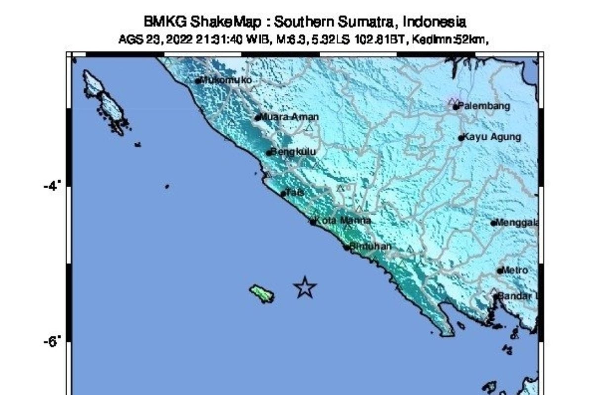
The 6.3 magnitude quake struck at 21:31 local time, the country's meteorology and geophysics agency (BMKG) said, with its epicenter 80 kilometers south of the town of Manna in Bengkulu province, at a depth of 52 kilometers.
Manna is about 600 kilometers northwest of the capital Jakarta.
Also read: 6.1 Richter Scale Earthquake Shakes Indonesia’s Maluku Province, Triggers Rush to Higher Ground
The tremor was felt for two to six seconds by residents along the southern coastline of Sumatra, prompting some to run out of their homes, disaster agency BNPB said in a statement.
"It was quite strong," a Bengkulu agency official, Septi, said.
Indonesia straddles the so-called "Pacific Ring of Fire," a seismically active zone where different plates on the Earth's crust meet and create a large number of earthquakes and volcanoes.
In February, a magnitude 6.1 earthquake killed more than 10 people when it struck inland near the western coast of Sumatra.
Source: Reuters
Dalam segala situasi, KOMPAS.com berkomitmen memberikan fakta jernih dari lapangan. Ikuti terus update topik ini dan notifikasi penting di Aplikasi KOMPAS.com. Download sekarangMore Headlines


19 Javan Leopards and Black Panthers Captured on Camera in West Java


Indonesian Embassy Staff Shot Dead in Peru, Police Probe Contract Killing


President Prabowo Expresses Condolences After Driver Killed by Police Vehicle


Financial Report Reveals Billions in Losses for Indonesia’s High-Speed Rail

Indonesia’s Largest Private Bank Denies Allegations of Manipulation in 2003 Share Sale