

Said Didu: Golkar's Legal Notice is Misdirected and Lacks Substance
-
News
-
15 minutes ago
This article was translated by AI. Read the original article on Kompas.com. See Original
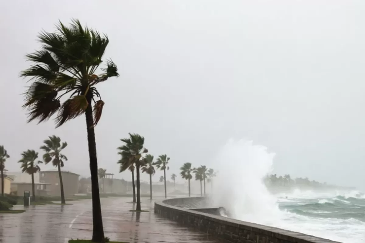
KOMPAS.com - The Japan Meteorological Agency (JMA) has issued a warning of potential disasters as a typhoon is expected to make landfall near the Tokyo area on Saturday (September 19, 2026).
The public is urged to stay alert for the risks of landslides and flooding along Japan's western to northern coastal regions over the coming days.
According to Japan Today (September 20, 2026), the JMA reported that Typhoon Dujuan is moving northwestward at a speed of 15 kilometers per hour south of the main island of Honshu.
The typhoon has a central pressure of 975 hectopascals with maximum wind gusts reaching 162 km/h.
It is forecasted to make landfall on the Boso Peninsula in Chiba Prefecture (east of Tokyo) on Monday (September 21, 2026).
The typhoon is expected to bring heavy rainfall, strong winds, and high waves, increasing the risks of landslides and flooding in lowland areas.
In response, JR East railway operators have confirmed that train services across parts of Chiba and other prefectures may suspend operations from Sunday night through Monday.
Earlier, as reported by Kyodo News (September 18, 2026), the JMA's Thursday report indicated Typhoon Dujuan was southeast of the Japanese islands and moving northward.
By early Friday, the typhoon was located off the coast of Minamitorishima, Japan's easternmost island, moving north-northwest at 40 kilometers per hour.
After passing the remote Ogasawara Islands, Dujuan is expected to move north and possibly approach the Izu Islands — located just south of the main island of Honshu — around Sunday.
From there, its trajectory may bring it closer to eastern Japan, including Tokyo, around Monday before weakening into an extratropical low-pressure system east of Japan.
Rainfall over 24 hours through Sunday afternoon is predicted to reach 150 millimeters in the Izu Islands and the Kanto-Koshin region (including Tokyo), along with 60 millimeters in northeastern Tohoku and central Tokai areas.