7.0-Magnitude Quake Hits Eastern Indonesia, Tsunami Warning Lifted

MOROTAI, KOMPAS.com – An offshore earthquake with a magnitude of 7.0 hit near eastern Indonesia's Maluku islands on Wednesday, Jan. 18, forcing panicked residents to run into the streets and briefly triggering a tsunami warning.
There were no immediate reports of casualties but light damage was reported on at least one island.
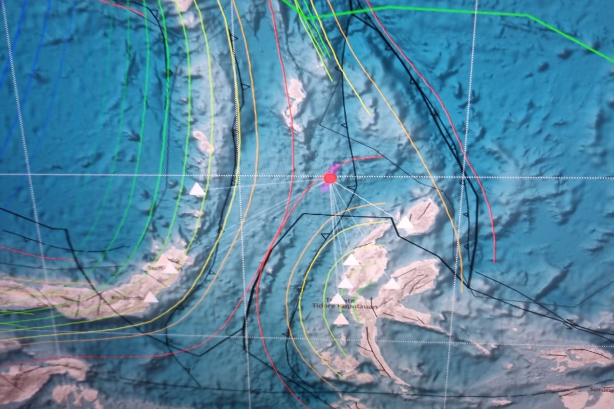
The epicenter of the tremor was located 150 kilometers northwest of the eastern Indonesian island of Halmahera, at a depth of 48 kilometers, the US Geological Survey (USGS) reported.
The undersea quake occurred around 13:06 p.m. local time off the coast of Sulawesi island, shaking nearby islands and sending some residents into the streets.
"The quake was felt around 15-20 seconds. The shakings were quite long," an AFP journalist on Morotai island in the Maluku archipelago said.
"Some people went outside because they were afraid of buildings collapsing."
Also read: 6.2-Magnitude Quake Hits Off Indonesias Sumatra: USGS
Abner Manery, the head of North Halmahera disaster mitigation agency, said some houses on Morotai were damaged.
A resident described the moment the quake shook the island.
"When it hit, we rushed outside, slightly panicked," Rizkal Fuadsamlan, 29, told AFP.
The NWS Pacific Tsunami Warning Center in Hawaii said in an updated warning the tsunami threat had passed.
It said earlier tsunami waves could hit coastal areas around 300 kilometers from the epicenter.
The quake was also revised down from an initial magnitude of 7.2 reported by the USGS.
Second January quake
Indonesia's Meteorology, Climatology and Geophysics Agency (BMKG), which put the magnitude at 7.1, warned of possible aftershocks.
Daryono, the head of the agency's earthquake and tsunami center who like many Indonesians goes by one name, said the tremor was followed by 10 aftershocks, the largest with a magnitude of 5.3.
He tweeted the quake was "triggered by (a) rock deformation in the Maluku Sea Plate".
The initial quake was felt as far away as the city of Gorontalo in northern Sulawesi, where it shook houses, and the provincial capital, Manado.
Also read: Strong Quake Rattles Islands, Damages Homes in Indonesia’s Maluku
A powerful quake hit deep under the ocean in eastern Indonesia earlier this month, rattling nearby islands and damaging homes and schools.
The 7.6-magnitude quake caused roofs and walls to collapse in homes on the worst-hit Tanimbar Islands in the Maluku archipelago.
Indonesia experiences frequent seismic and volcanic activity due to its position on the Pacific "Ring of Fire", where tectonic plates collide.
A 5.6-magnitude quake hit West Java province on Indonesia's main island of Java on November 21, killing 602 people.
Most of the victims were killed when buildings collapsed or in landslides triggered by the quake.
Source: Agence France-Presse
Simak breaking news dan berita pilihan kami langsung di ponselmu. Pilih saluran andalanmu akses berita Kompas.com WhatsApp Channel : https://www.whatsapp.com/channel/0029VaFPbedBPzjZrk13HO3D. Pastikan kamu sudah install aplikasi WhatsApp ya.More Headlines


Taiwan's Semiconductor Industry: A Rising Powerhouse with Global Impact


3 Malaysian Nationals Missing after Boat Capsizes Near Indonesia’s Side of Borneo


Indonesia to Deploy Warships during ASEAN Summit in East Nusa Tenggara


Jakarta High Court Rejects Appeal of Ex-Police General Ferdy Sambo Facing Death Sentence


Indonesia Religious School Principal Named Suspect in 14 Students' Sexual Abuse


Centuries-old Indonesian Easter Tradition Returns after Pandemic Hiatus